Harriman State Park - Stony Point, New York - July 2011
This was a very short hike, only about 3-1/2 hours on the Suffern-Bear Mountain trail and old woods roads at the eastern edge of Harriman State Park.
We parked on the south shoulder of Gate Hill Road then headed across the road to the S-BM trail which soon starts ascending Irish Mountain.
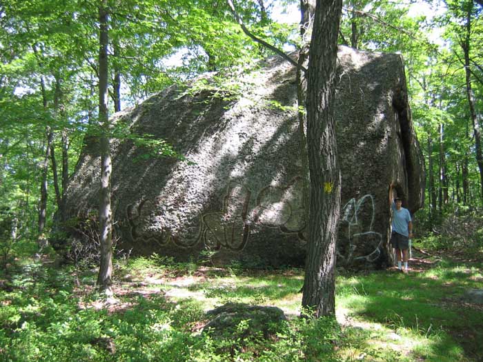
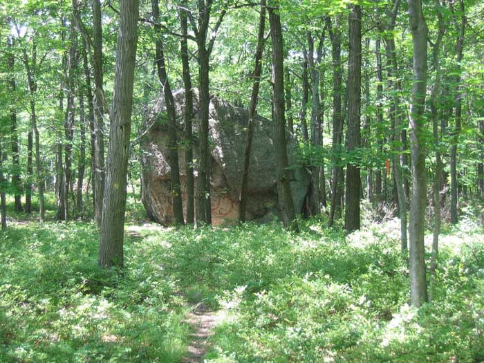
In this picture is, L to R, Irish Potato & me. Irish Potato is a 'glacial erratic' that was depostited here the last time glaciers pushed through the area.
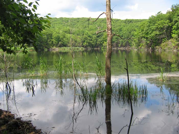
We continued north on the S-BM trail, and managed to lose it within sight of the Upper Pound Swamp. After some bushwhacking we managed to pick up an old unmarked wood road. What might have once been a swamp is now a pond, thanks to the local beaver population.
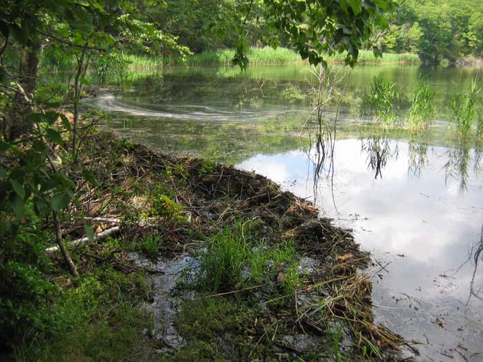
Here's a closer look at the dammed end of the swamp. All along the shore you can see where numerous trees have been taken down by the beavers. We were in for a bit more bushwhacking, since part of the old road had washed away here,
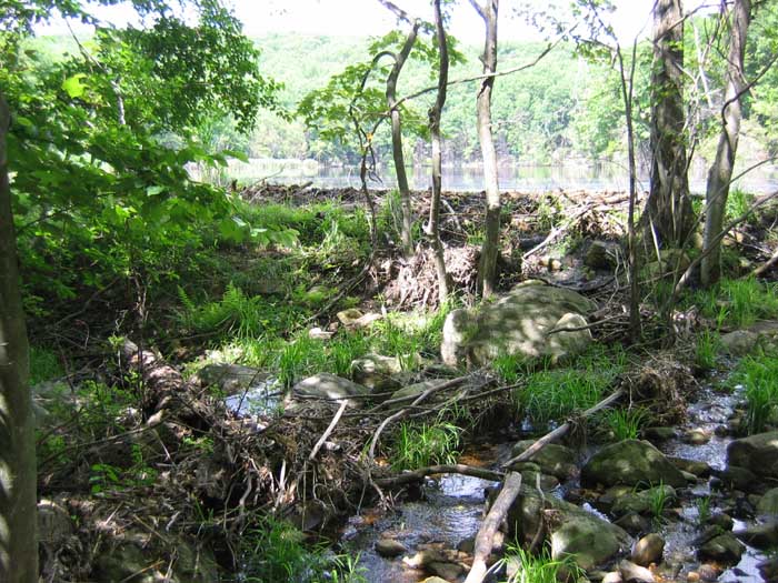
but crossing the small stream that the swamp drains to was no problem, and we picked up the road again on the other side.
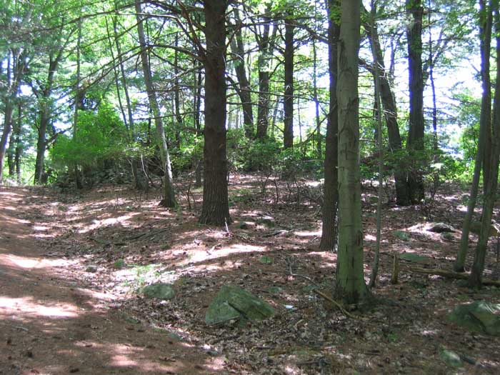
Just a short distance southeast and up from the swamp, this old driveway leads up to the ruins of the former estate of Rose Redard.
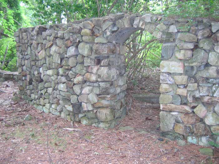
Redard was the namesake of Red Rose Tea. The driveway passes this arched entrance. The driveway's pavement remains, but is now covered with years of fallen pine needles.
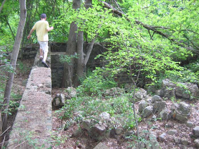
The stone walls of the foundation are still intact, but it takes a lot of imagination to come up with an image of what was once here. As you can see from the map at the top of the page, the old driveway road lead up from Gate Hill Road near the intersection with Blanchard Road.
We exited the way we came in though, retracing our steps back to the Upper Pound Swamp/Pond. This time we managed to get back on the Suffern-Bear Mountain trail. The picture above is of Irish Potato as we approached from the this side. Still pretty large. From here we took a right onto an old wood road towards the Beaver Pond Campground, passing thru that area before hitting Gate Hill Road for the walk back to the car.
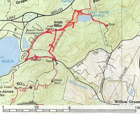
Map from the New York-New Jersey Trail Conference, Inc., and reproduced here under the terms and provisions of "Fair Use" in accordance with Title 17, Section 107 of the United States Code.
©2011 www.jeffbaker.us