Northeast Pennsylvania - April 2006
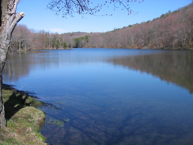
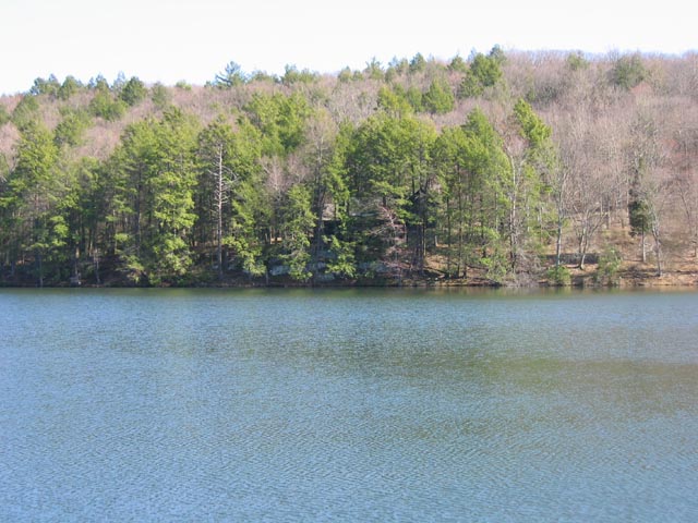
The first 2 pictures below were taken on April 10 at Hidden Lake, a small recreation area just north of Marshall's Creek, PA.
The lake is stocked with trout, and there's a walking trail around it which can be completed in less than an hour.
Can you make out the Adirondack-style home across the lake in the second picture?
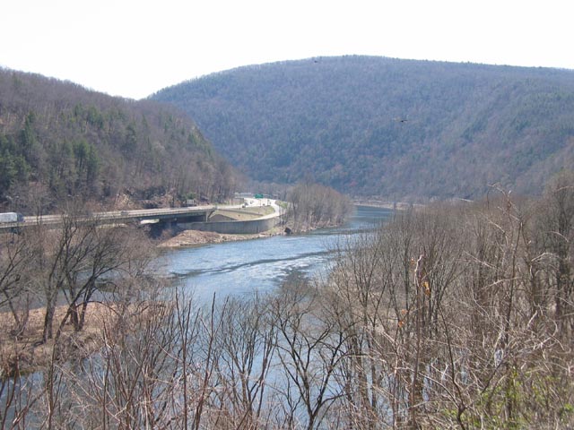
Below are some pictures taken along the Appalachian Trail in Pennsylvania, near the Delaware Water Gap, on April 11.
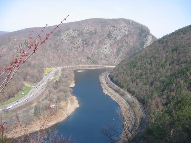
Actually the first picture was taken from a scenic overlook along PA route 611 just south of Delaware Water Gap, PA.
If you look closely you might see a couple of hawks, which are almost constantly soaring overhead.

We hiked in on a fire trail (1-1/2 miles, climbing 1060 feet) to Mt. Minsi, where the picture above was taken. The view looks across the Delaware River
to the New Jersey side. That's Mt. Tammany (1550') at left, and northwest Jersey to the right.
We hiked down the Appalacian Trail (2175 miles from Maine to Georgia!) from Mt. Minsi (1461'), which was definitely the way to do it.
That's the Delaware River, above, with I-80 at left, in NJ, and PA route 611 on the right.
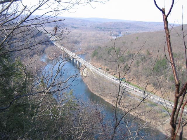
Below, I-80 bridges the Delaware between New Jersey & Pennsylvania.
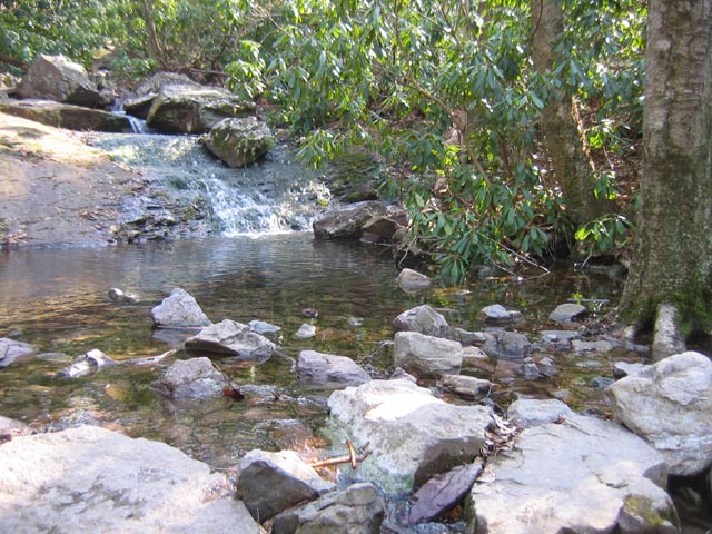
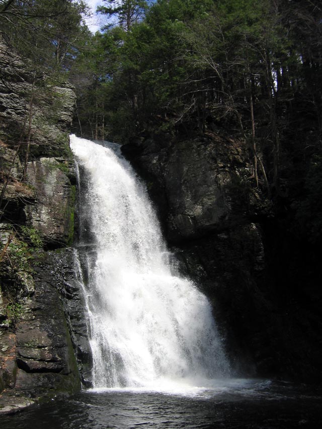
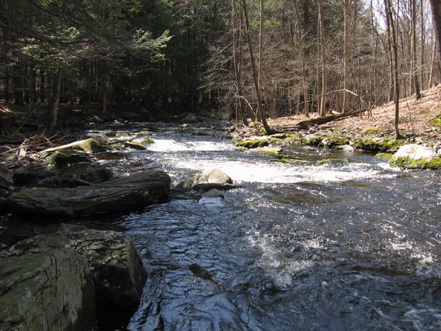
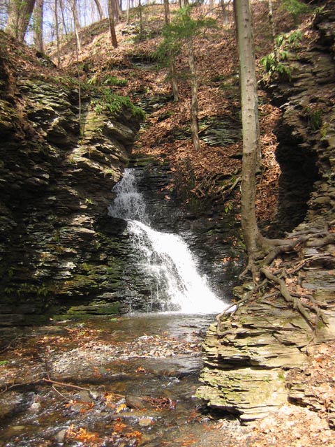
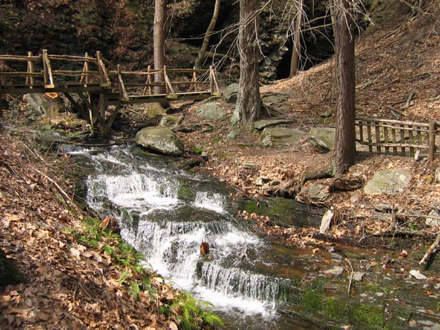
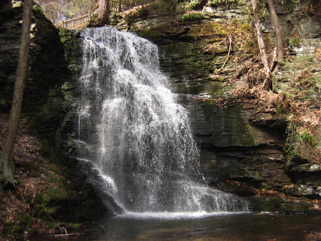
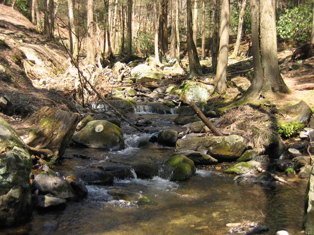
The next group of pictures were taken on April 13 at Bushkill Falls, PA., the 'Niagara of Pennsylvania'.
This is a privately-run facility which features several trails through the woods, and 8 waterfalls.
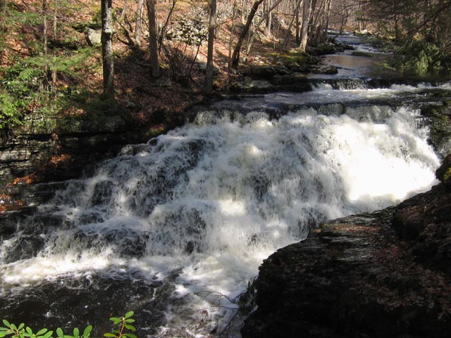
This is the big one, the main falls at Bushkill Falls. It drops over 100 feet.